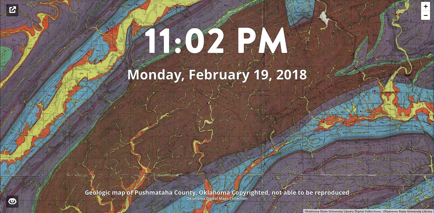
Oklahoma Digital Collections Tab
A browser extension that replaces the default "New Tab" screen with the current date and time overlaid on a zoomable image from the Oklahoma State University Library Digital Collections. If you like what you see, you can click a button for more information about the image, and in some cases, download your own copy. For Firefox and Chrome. A fork of a fork of the original MapTab by mejackreed and bsudekum, respectively.
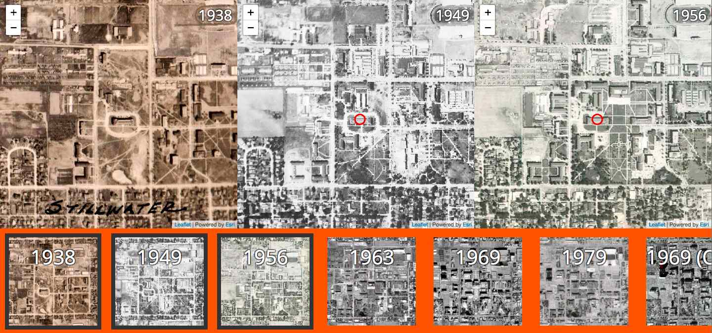
Aerial Photo Comparison
This is a React-based application that allows users to compare up to 8 map layers at once. The map splits and subdivides as more layers are added. It could be used for any comparison, but I made it specifically for comparing aerial photography of Stillwater, Oklahoma (home to Oklahoma State University).
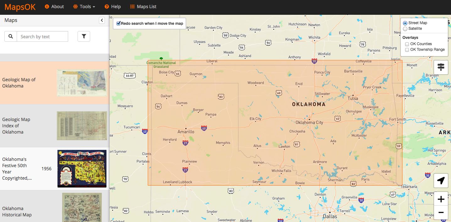
mapsOK
Oklahoma State University Library is home to a digital collection of nearly 9,000 maps of Oklahoma/Indian Territory. This project utilizes the minimum bounding box for each map to power a pan and zoom driven discovery experience.
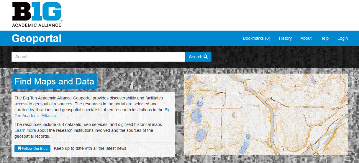
Big Ten Academic Alliance Geoportal
A collaborative pilot project to provide discoverability, facilitate access, and connect scholars across the Big Ten Academic Alliance to geospatial data resources. The project supports the creation and aggregation of discovery-focused metadata describing geospatial data resources from participating institutions and will make those resources discoverable via an open source portal. I oversaw the selection and adaptation of technologies for the project during its first year. Metadata and scripts are available on GitHub, while you can read more about the project on its main website.
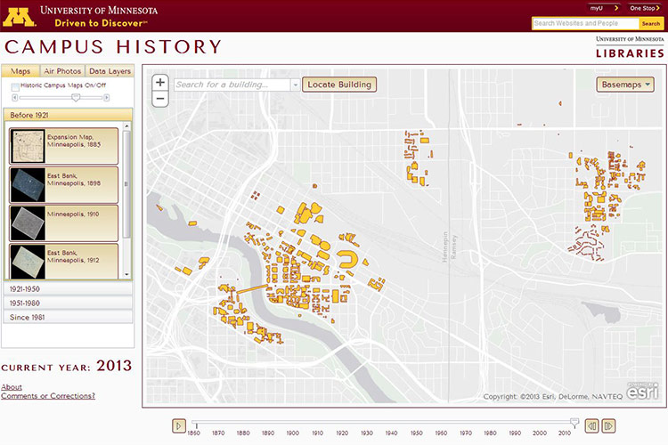
University of Minnesota Campus History
I created this map exploring the history of the University of Minnesota Twin Cities campus using a combination of the ArcGIS JavaScript API, ArcGIS Server, and ArcGIS Desktop. It includes temporally aware raster and vector data that can be explored using a time slider and buttons.
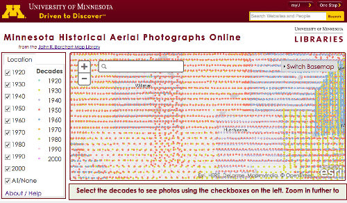
Minnesota Historical Aerial Photographs Online
Originally written using a since deprecated version of the Google Maps API, I updated this map to utilize the ArcGIS JavaScript API. It provides access to over 200,000 historic aerial photos from all over the state of Minnesota.

Arts Festival
This map combines Cartodb.js and the MarkerCluster plugin for Leaflet. Since it's displaying participants in an annual neighborhood arts festival, I used the beautiful watercolor base map from Stamen. The map uses interactive clustering to indicate locations with multiple participants.
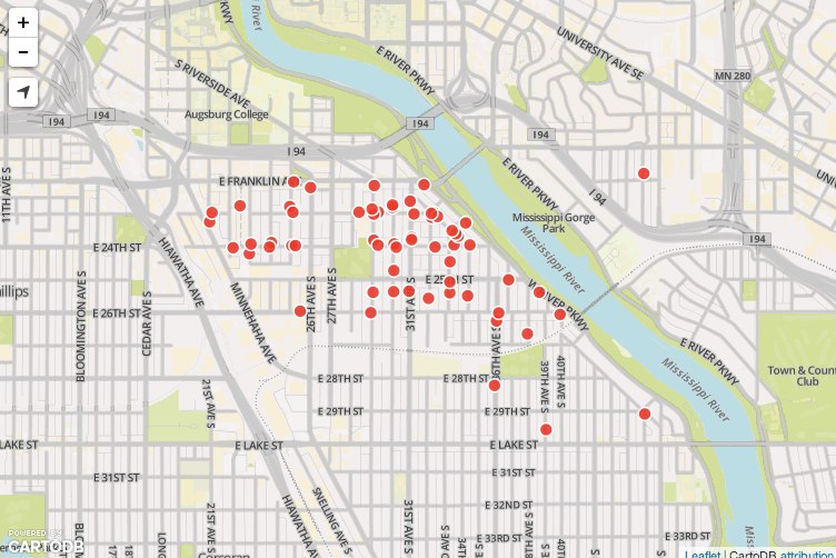
Mapping Google Form responses
This map displays responses to a Google Form. When a user submitted the form, a trigger inserted the response into a CartoDB table. That table was queried and displayed using Leaflet, resulting in a very quickly produced, semi-automated map usable on mobile devices.
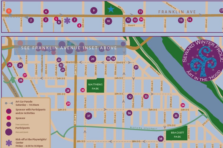
Arts Festival Paper Map
Created using ArcGIS and Adobe Illustrator, with data collected via a Google Form and processed using Microsoft Excel, the process of creating this map made clear to me the need for cartographers to engage with a wide variety of tools to reach a desired result.